Mount Adams-Madison

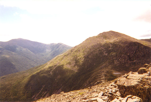
I made my first solo trip to the White Mountains on Sunday, July 18th, 1998. I left Norwich, Vermont around 6:45 AM and arrived in Appalachia at 8:45. The first picture (top left) is a panoramic view of the Presidentials as seen from the road on the way to Jefferson, NH. Since I was a DOC member, I decided to park at Billing's Cabin.
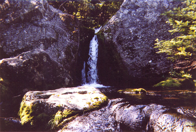
I walked a quarter of a mile to the trailhead off of U.S. Route 2 and started down the Air Line trail. After a short while I diverged onto the Short Line trail which I followed to the King Ravine Trail. The Mossy Falls which are located at the base of the ravine are pictured in the second photograph on the left.
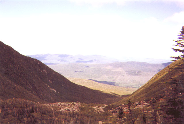
The ravine itself appears in the third photograph. The boulders in the foreground actually cover a system of ice caves. There was no ice to be found in the caves when I passed through, but there were a couple of tight squeezes and dark corners which made for an interesting and challenging addition to the hike. After the ice caves, the ravine ascends steeply. The fourth picture is a view looking down from near the top of the ravine.
The King Ravine Trail took me to the bottom of the rocky summit cone of Mount Adams, the second tallest mountain in New Hampshire with an elevation of 5,774 feet. By the time I had reached the summit, the weather had changed dramatically. The temperature had dropped from the mid 60's at the trailhead into the low 40's and the summit was enshrouded in clouds which were blowing by rapidly. Occassionally the clouds would break for a clear view. I was very happy to have the pair of OR Gear Mount Baker Mitts, my Polartec feelce jacket, and my Northface Kichatna jacket which I had purchased just a few months before at my favorite hiking store, Campmor.
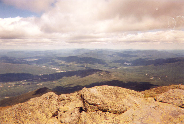
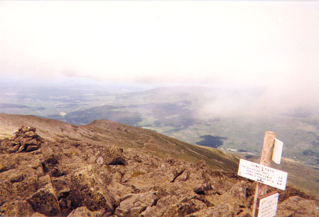
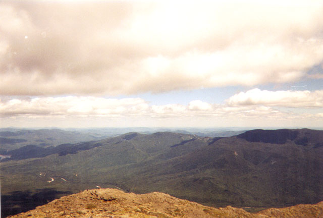
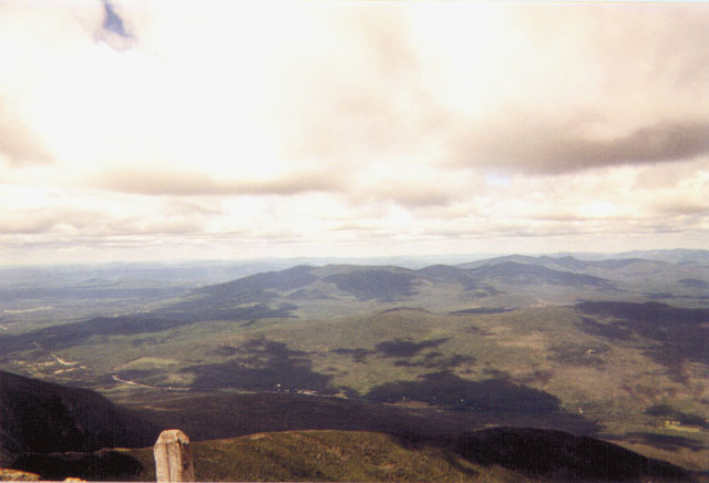
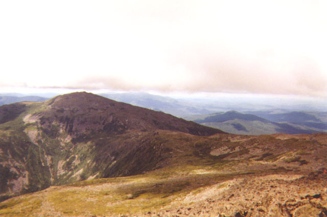
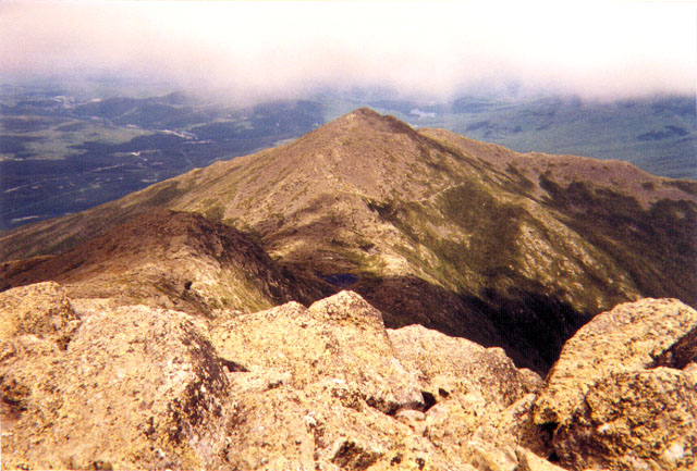
The next five pictures were taken from the summit of Adams. The first picture shows one of the side peaks, Mount John Quincy Adams. The second shows the other side peak, Mount Sam Adams, and the white sign marking the summit and the various trails eminating from it. In the third picture is the Great Gulf on the west side of Mount Washington. The summit of Washington, the highest in the northeast at 6,288 feet, is covered by clouds here, as it is most of the year. In the picture below that is Mount Jefferson, the third tallest peak in the New Hampshire at 5,712 feet. In the last of this series of pictures is Mount Madison, the fifth tallest mountain in New Hampshire at 5,367 feet. The summits of Mount Adams and Mount Madison are separated by a distance of less than a mile.
I headed down from the summit of Mount Adams and stopped at the Madison Springs Hut for lunch. The hut lies in the valley at 4,800 feet between the peaks of Mount Adams and Mount Madison and next to Star Lake. For lunch I had a turkey sandwich, a banana, and some chedder cheese. I also took the opportunity to sign the logbook should I venture back to Mount Madison sometime in the future. From the hut it was a half mile to the summit of Madison.
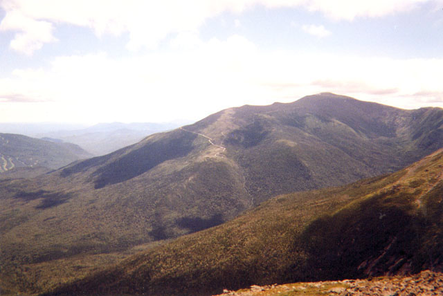
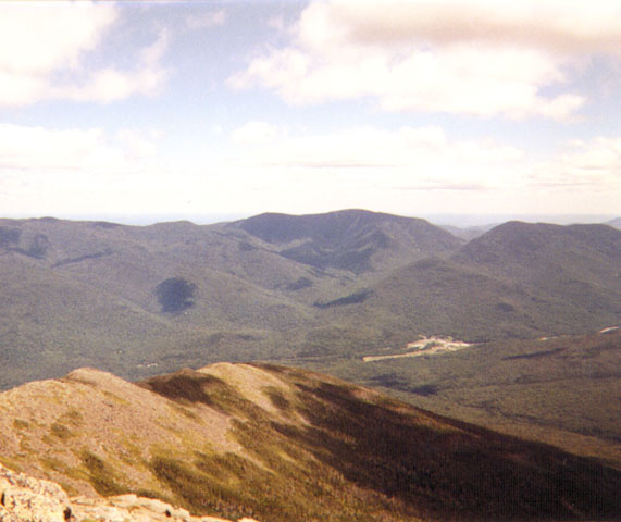
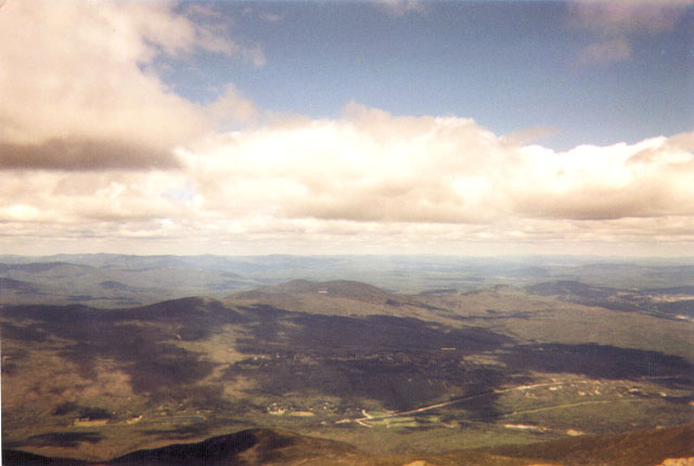
By the time I had reached the summit of Madison, I was pleased to find that the view had cleared. The next two pictures (top right) show Mount Adams and Mount Washington from the summit of Mount Madison. The auto road can be seen on the left of Mount Washington winding its way to the summit, which is now visible since the clouds have lifted. The five pictures after that are views of the New Hampshire wilderness taken from the summit of Madison in various directions.
I descended from Mount Madison via the Watson Path and took the last photo just below the summit showing the alpine tundra found above the treeline. The Watson Path proved to be a rough trail as it neared Snyder Brook, and its junction with the Scar Trail was poorly marked which gave me some difficulty. Fortunately, most of the trails in that area follow the same course as the brook, so by walking along the shore of the brook I was able to find my way to the trail. The Scar Trail runs into Valley Way. From there it was an easy mile and a half back to the parking lot.